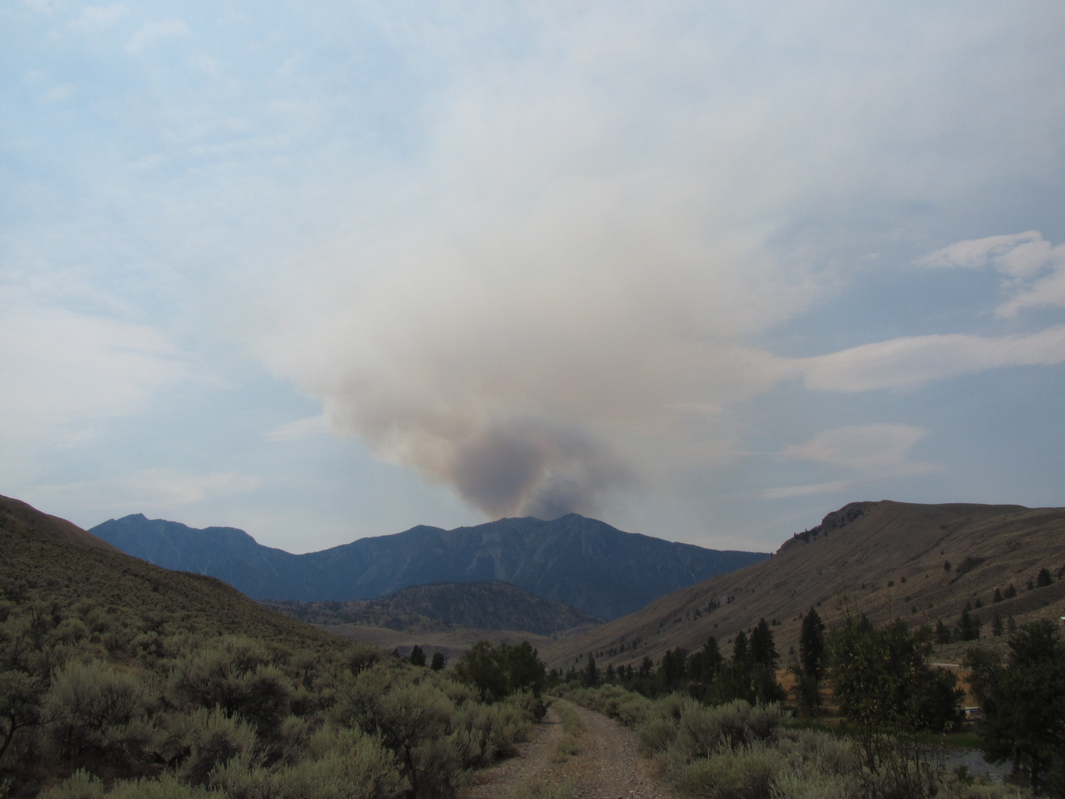
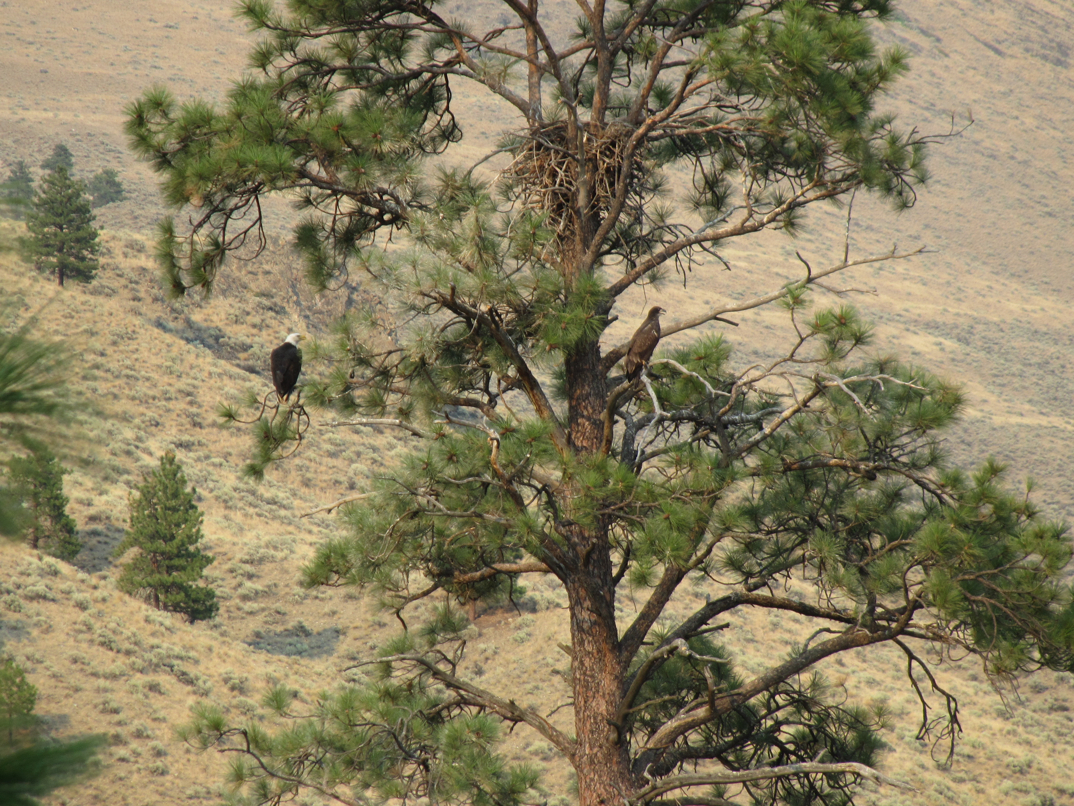
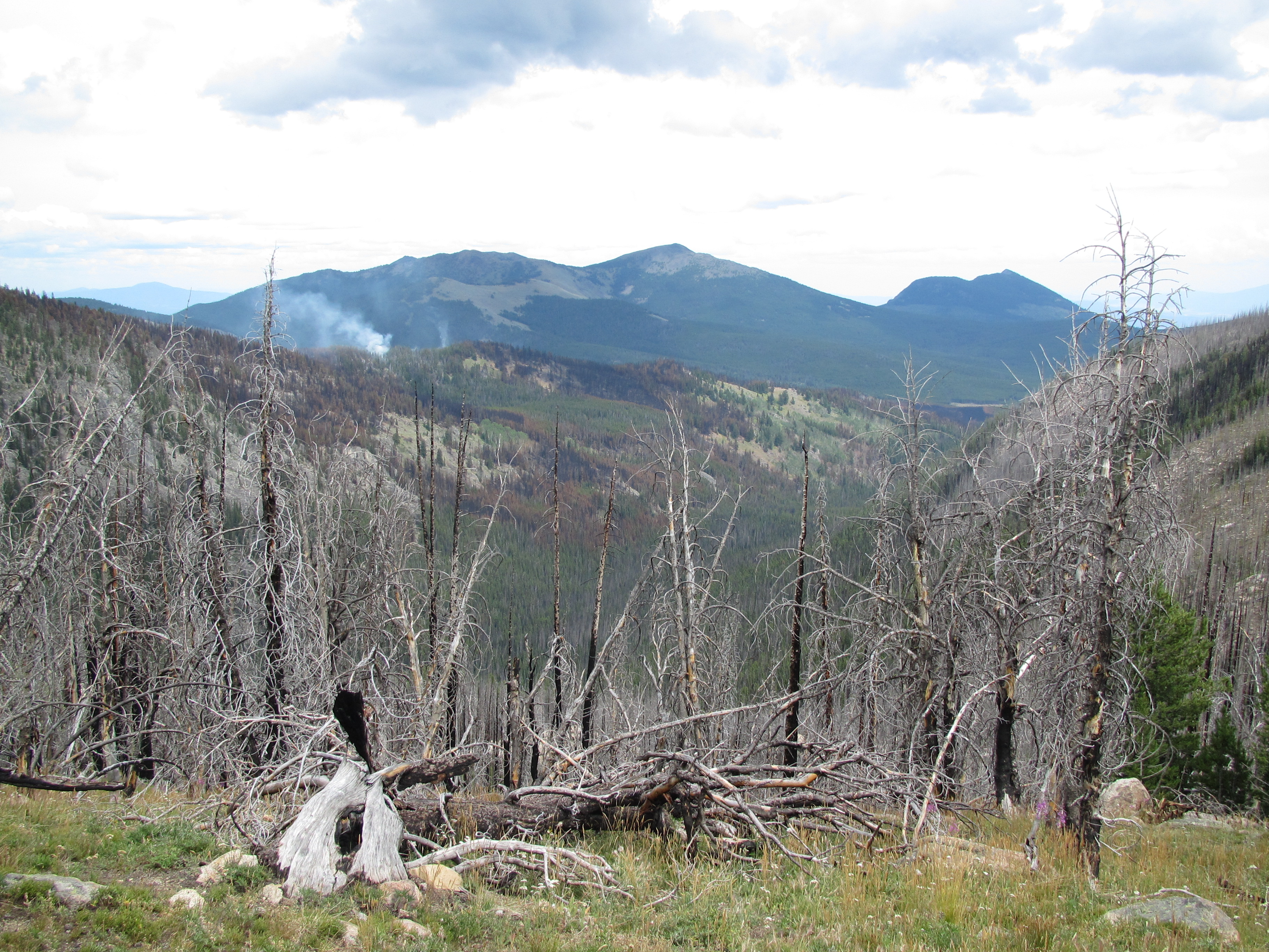
We walked out of the scorched town of Oroville, not sure what was ahead. The maps say we are about to go into the North Cascades, and particularly, the raved about Pasayten Wilderness. Are the maps wrong? We are in the desert, how could we possible be going into a place with tree’s, rain, cold temperatures, and real mountains? Seems like some kind of mess up to me… But as we hike through private property that we got permission to pass through, I find myself having a good time. There is shade, and the huge Similkameen River with massive fish in it, and tons of people camped along its shore panning and dredging for gold. We walked through a very long tunnel that was very cold inside, a nice place to take a break from the sweltering 100 degree heat outside of it. We saw bald eagles and golden eagles flying together, giving us a show. We got a birds eye view of the Newbie Fire that had already been burning for a month by the time we could see it. Apparently, it was self contained and we had nothing to worry about.


We walked through the old “town” of Nighthawk, after first being caught at the wrong moment. Like I said earlier, we had permission to walk through private land, however we still had to jump a huge deer gate, and not all the people in the area knew we had gotten permission, so the fence hop was nerve-wracking, especially when a truck started to approach from behind – of course during the only moment we are doing something that appears to be sketchy. We get over the fence and the truck comes through and asks us what we are doing. We explain, and the two men in the truck are like “Well if you got permission, we don’t care, see ya!” We saw them and the man who gave us permission on our way out.
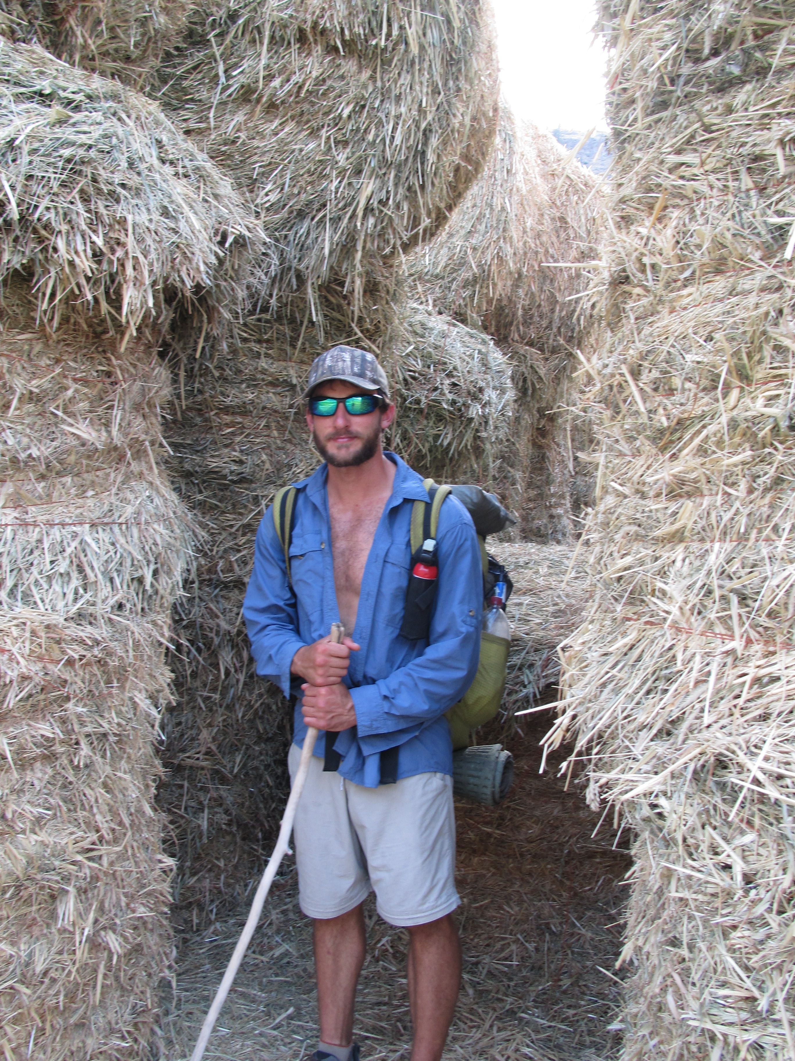

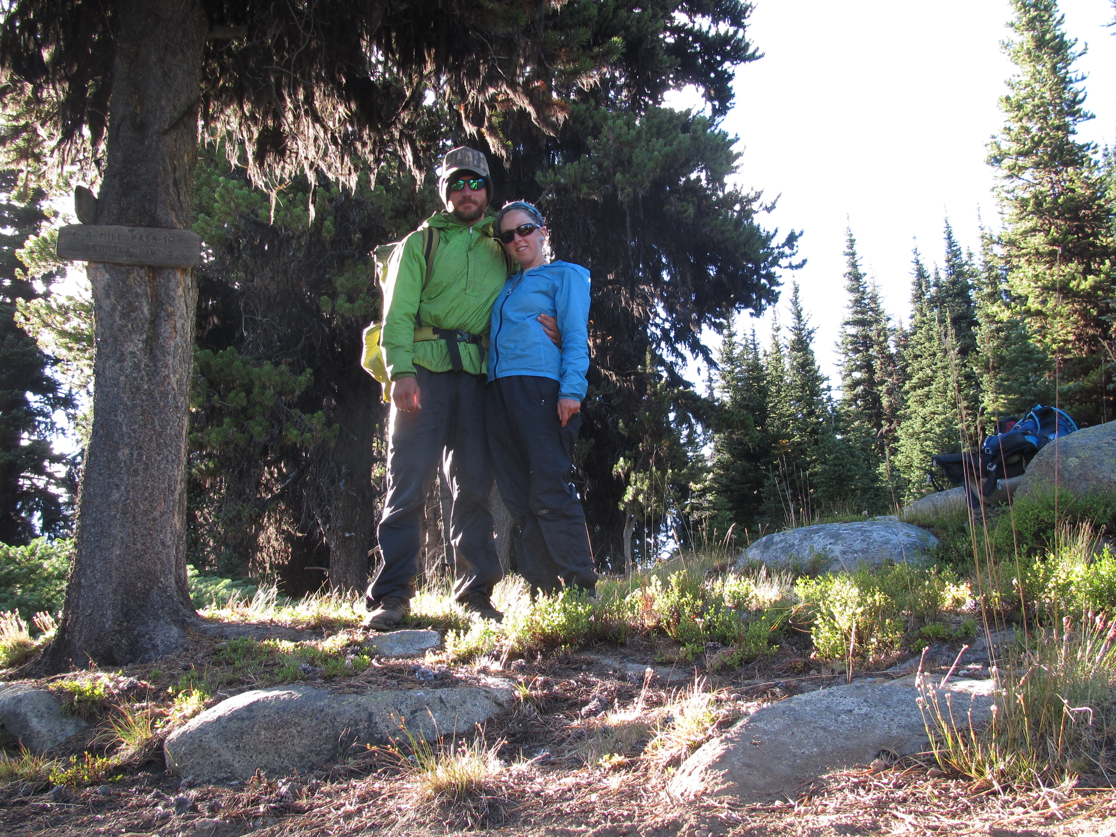
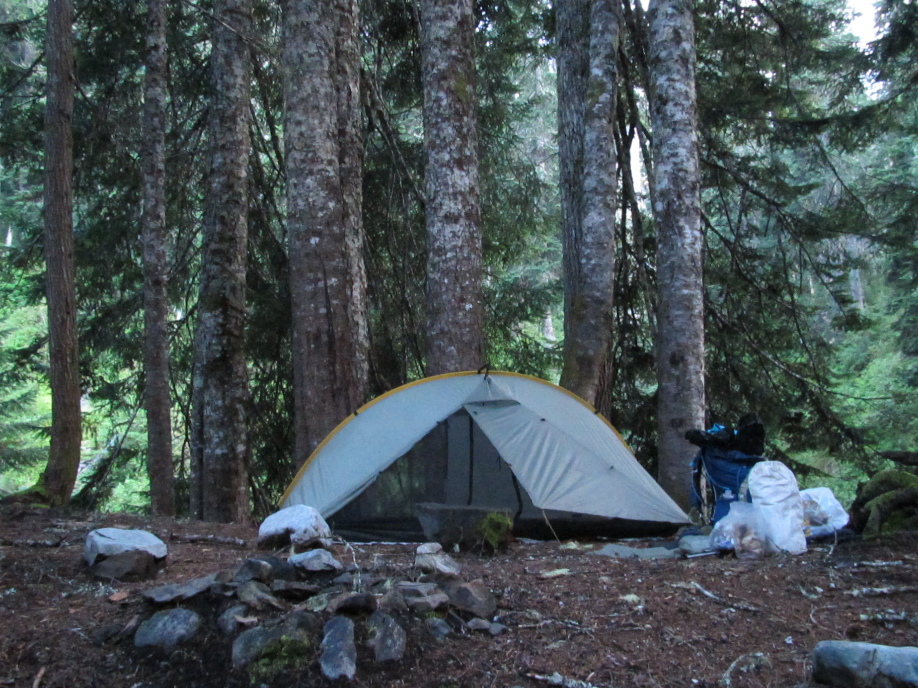
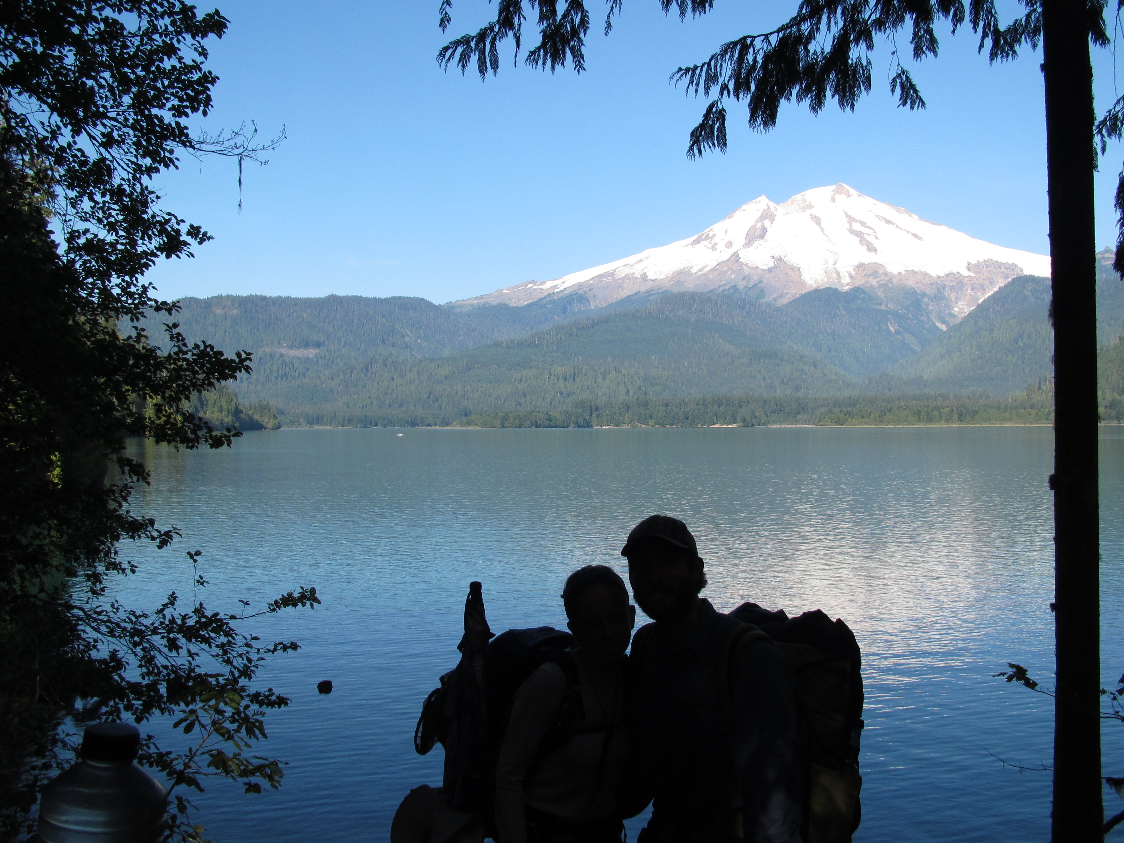
The valley we walked into next was probably the most peaceful valley I have ever seen. Wildlife bounded. We saw deer, eagles, and beavers! We were actually enjoying this road walk, barely any cars came by and it was just Ted and I, laughing and talking all along the way. We got to a campground and saw our friend Flanders tent set up so we stopped by to say hi. Ted and I decided to camp there too since the area was mostly private property and we didn’t want to camp illegally. The next morning we all hiked out together, Ted and I stopped in the tiny town of Loomis to get our packages and then headed up the Chopaka Grade to our high alpine campsite at the Cold Springs Campground, the beginning of our North Cascades adventure.

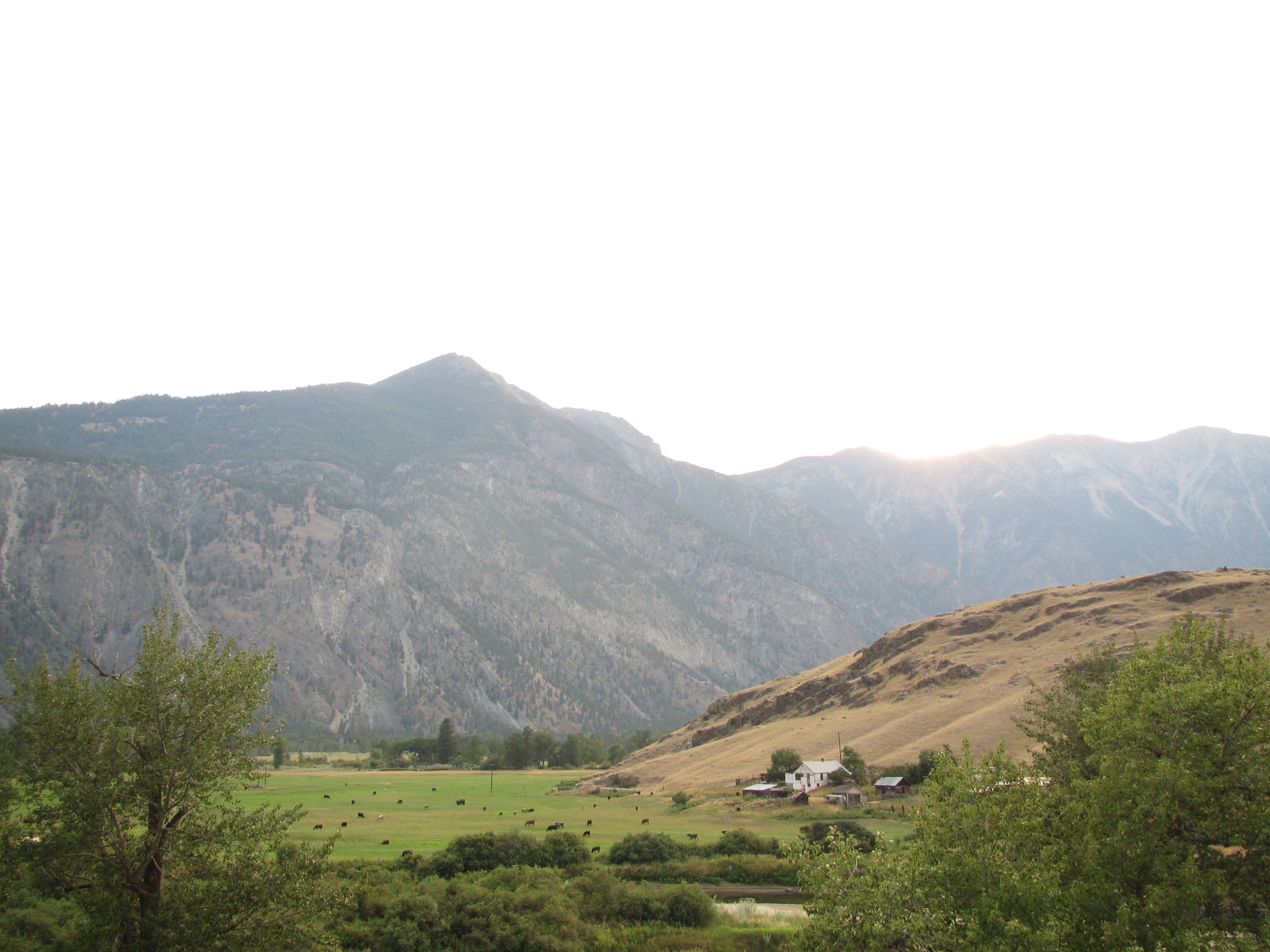


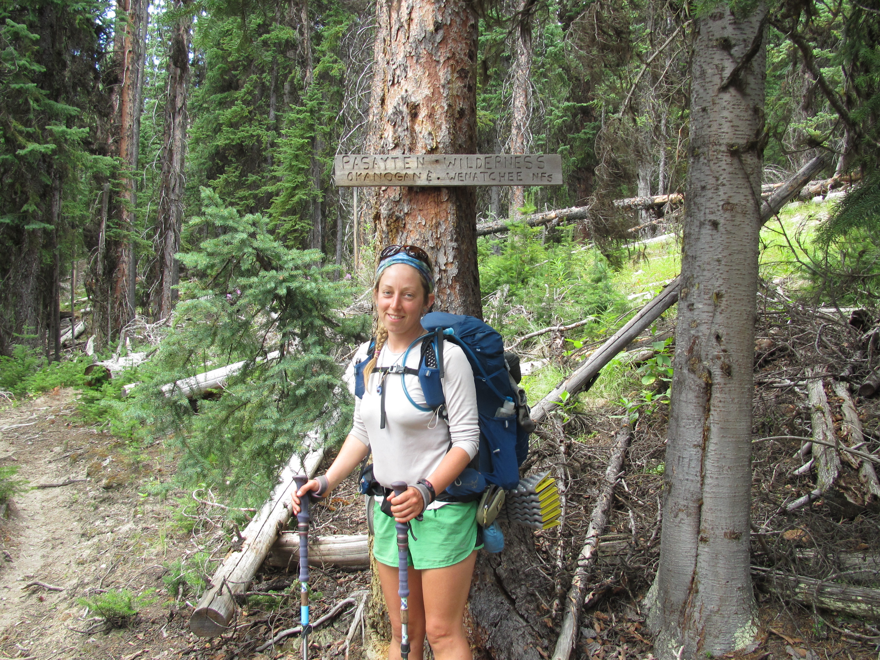
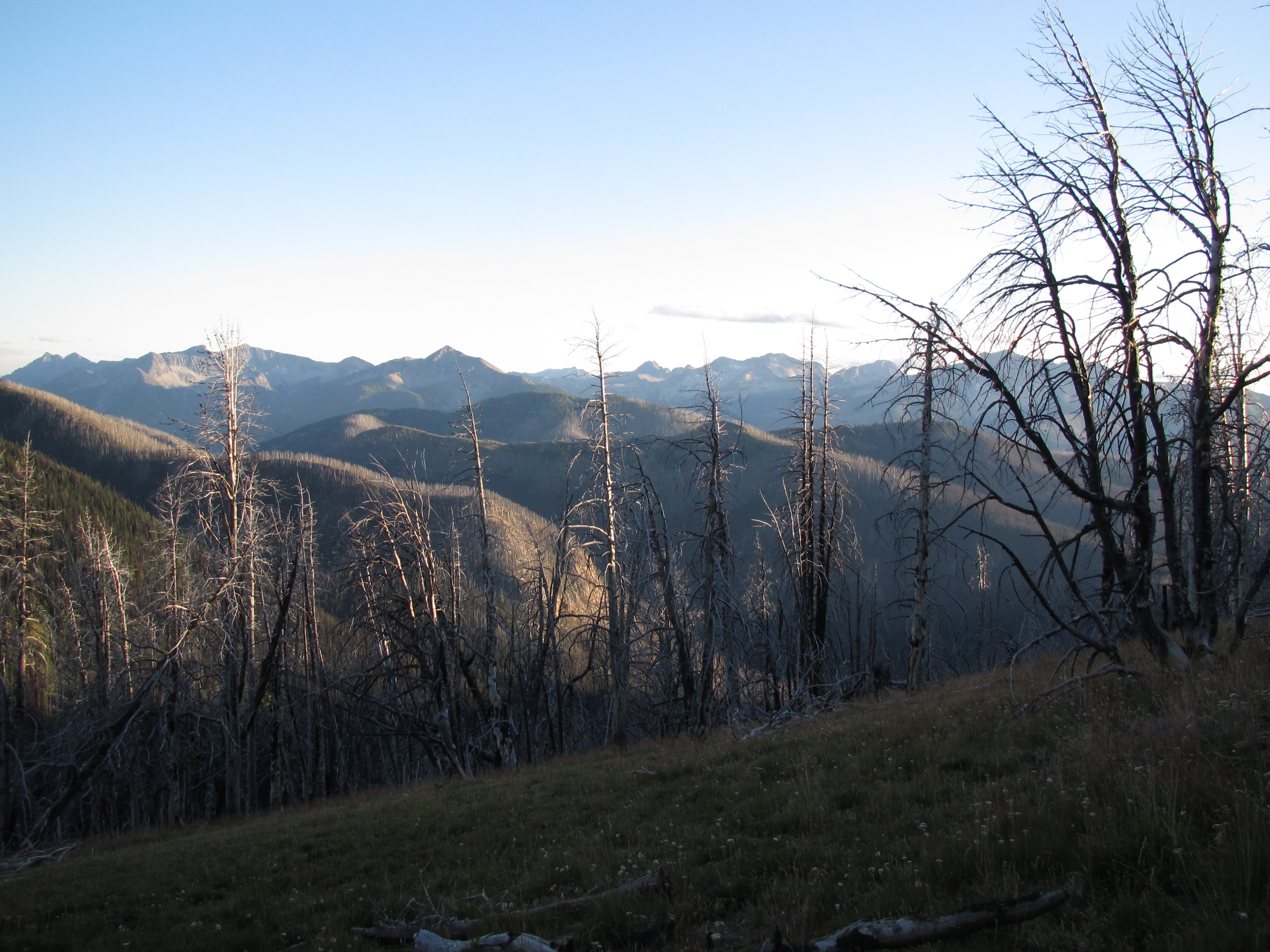
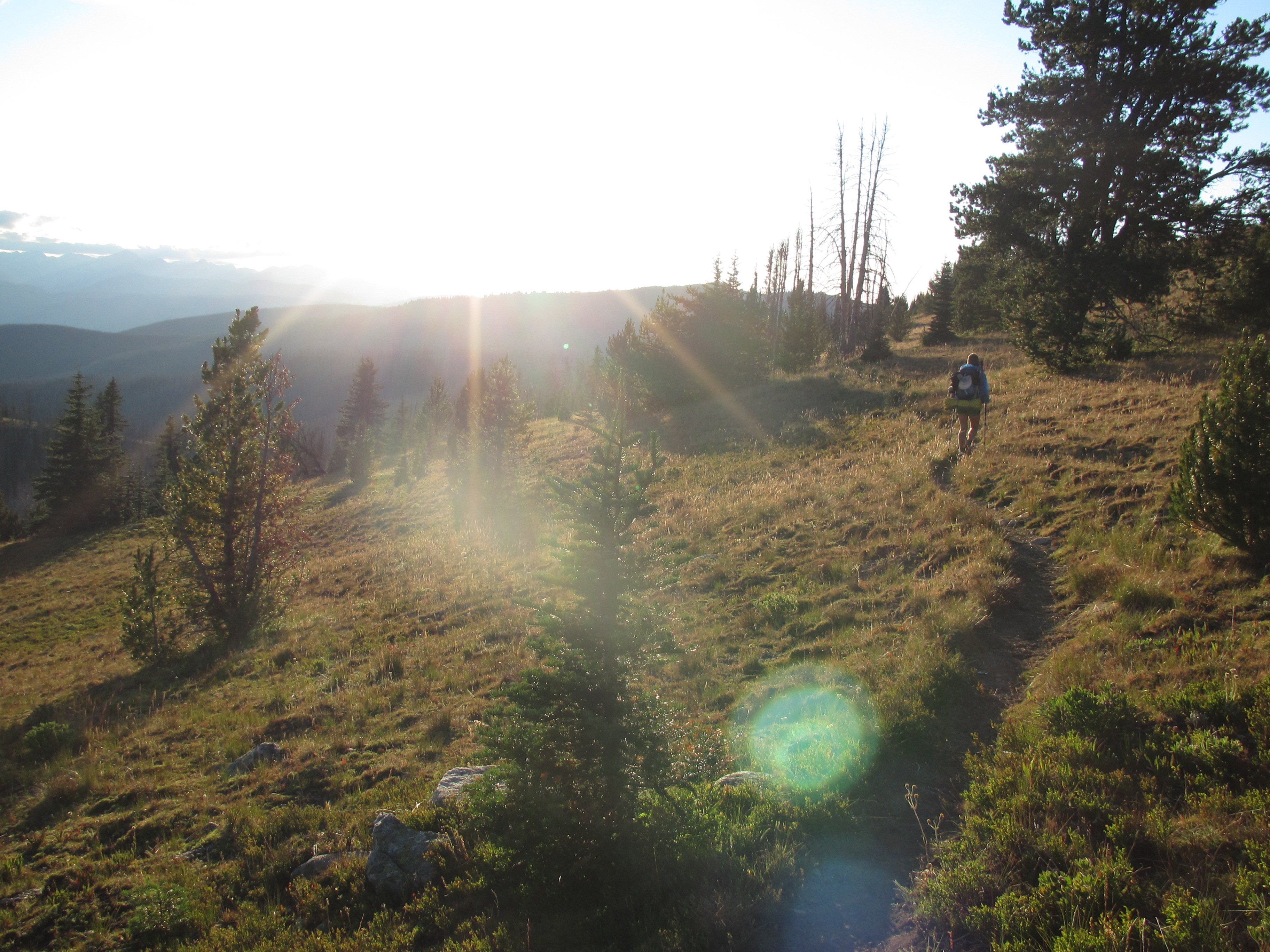
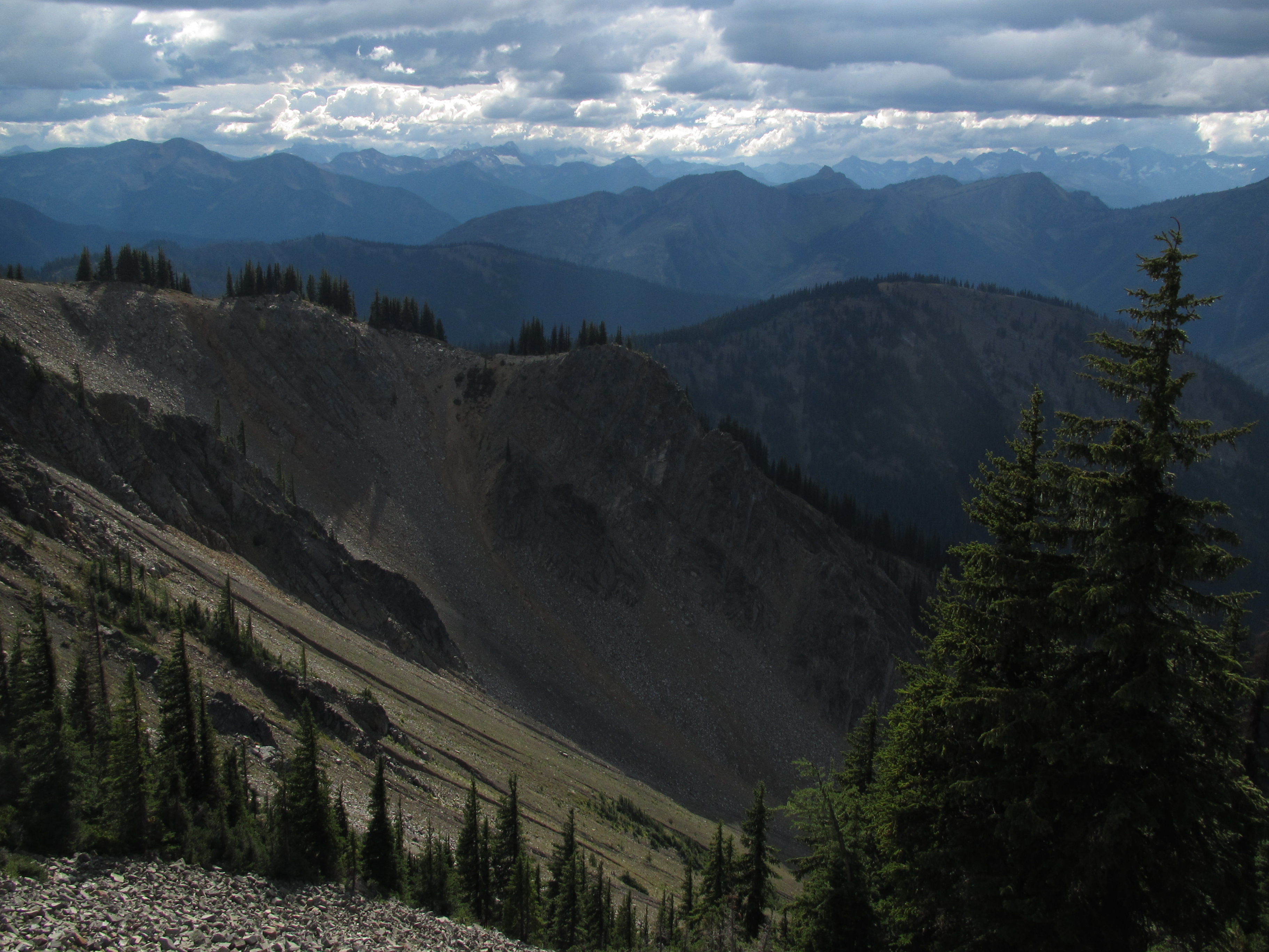
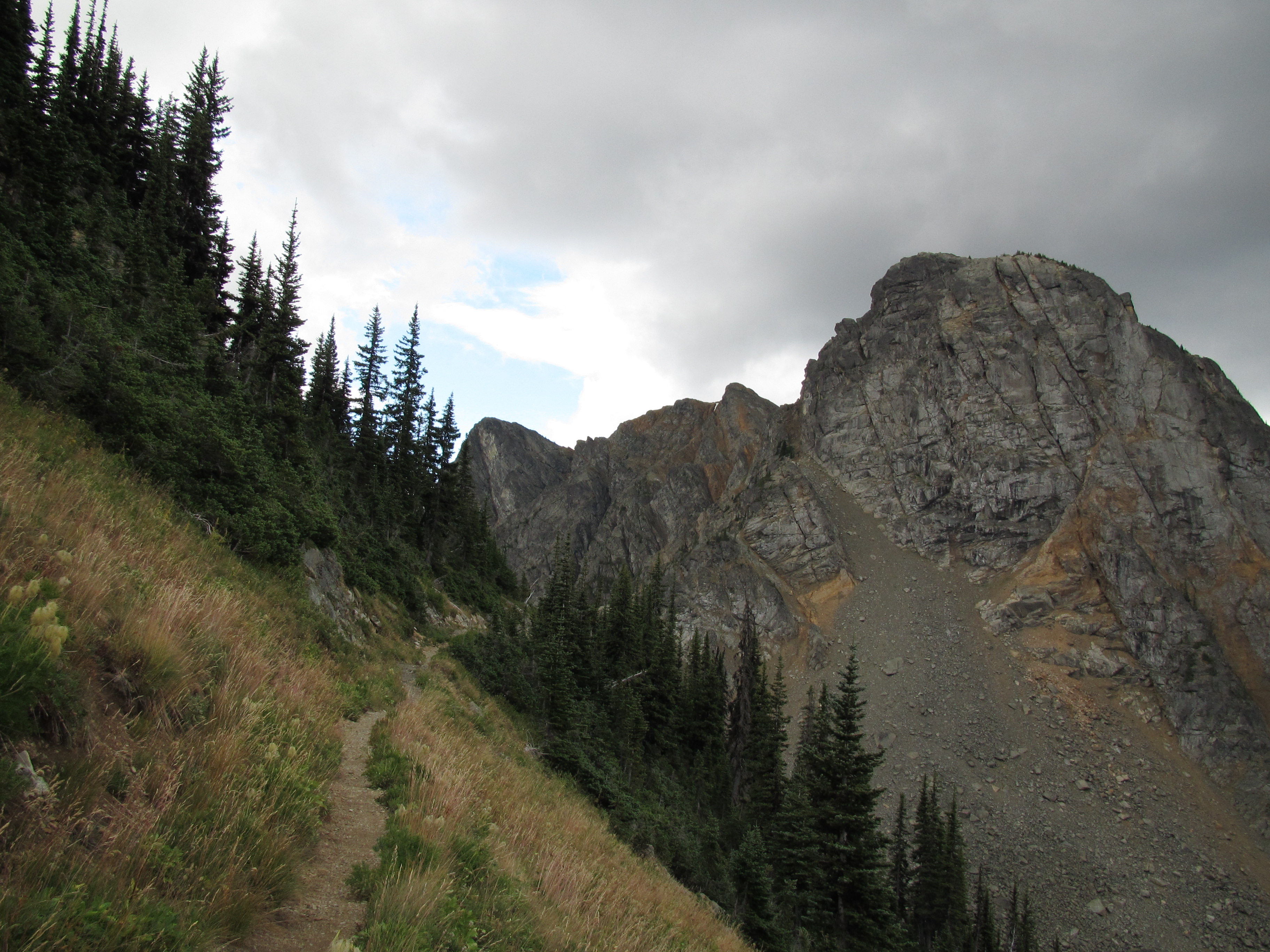
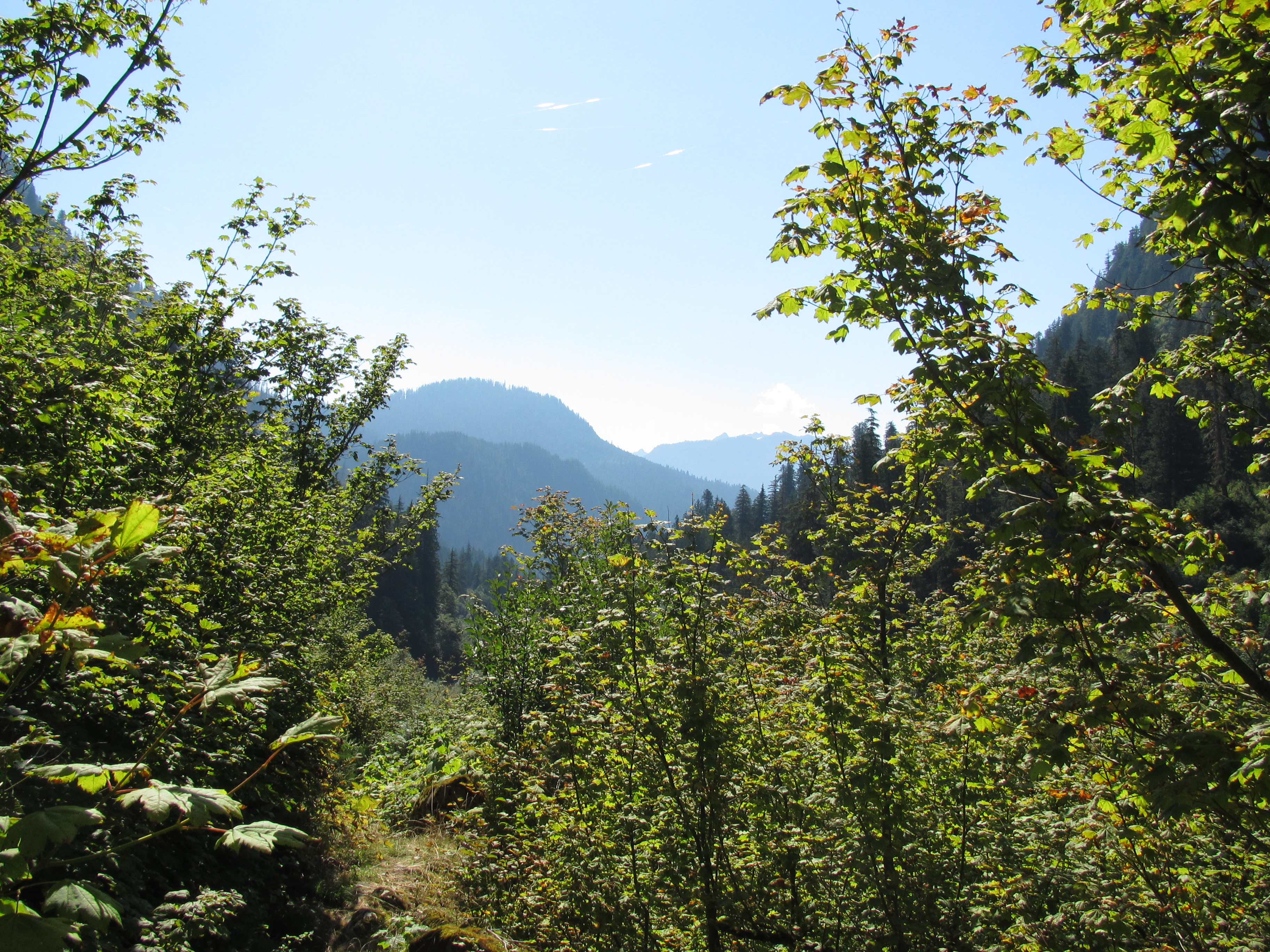
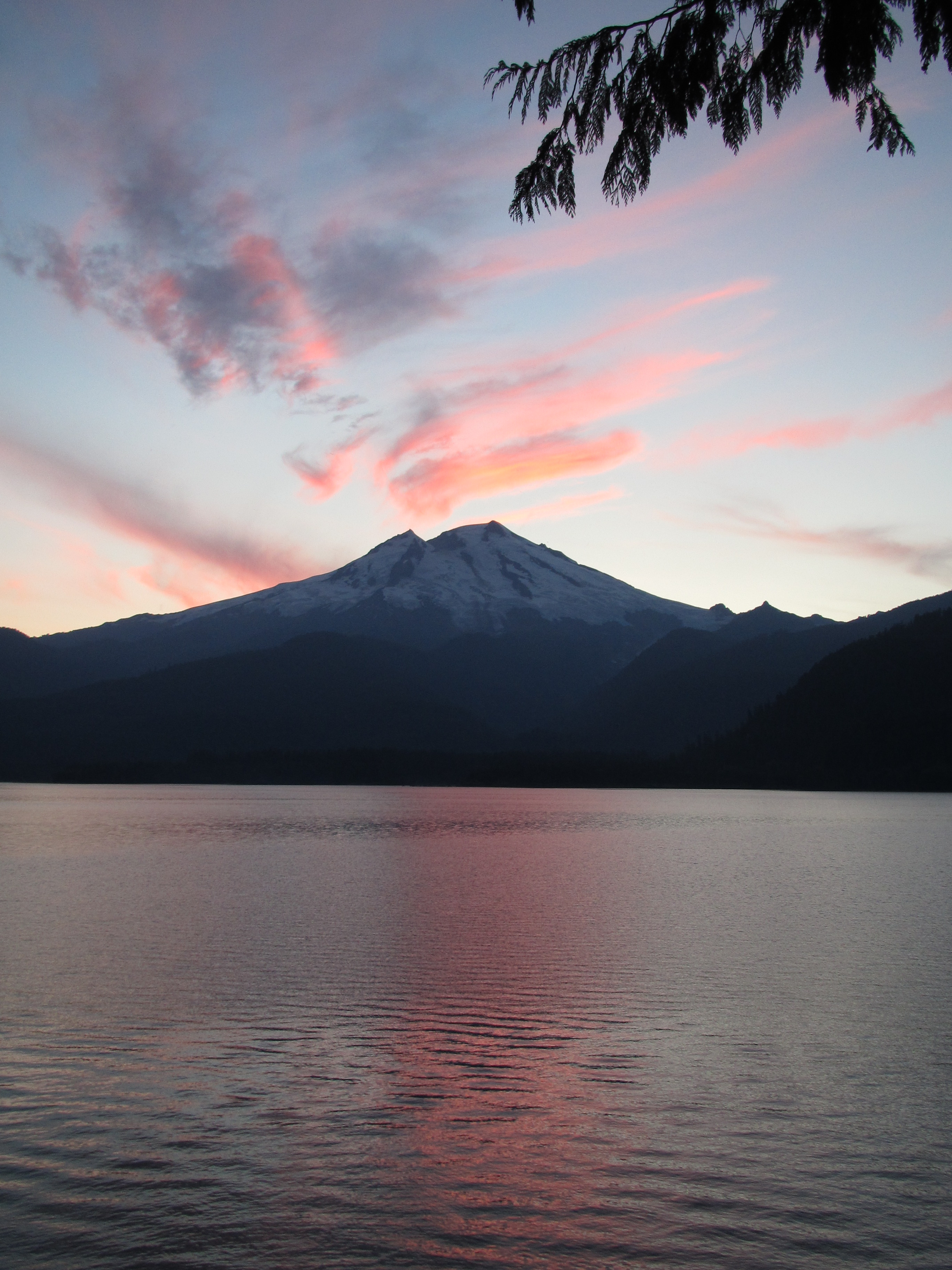
Thus begins the epic beauty of the mountains and forests of Washington! The Pasayten Wilderness is everything it’s cracked up to be. Lots of open meadows and views for hundreds of miles all around. The trails were nice and we even saw some actual human beings out there. We walked behind the Newbie Fire on an alternate route to get around it, and saw the burn area as we passed.

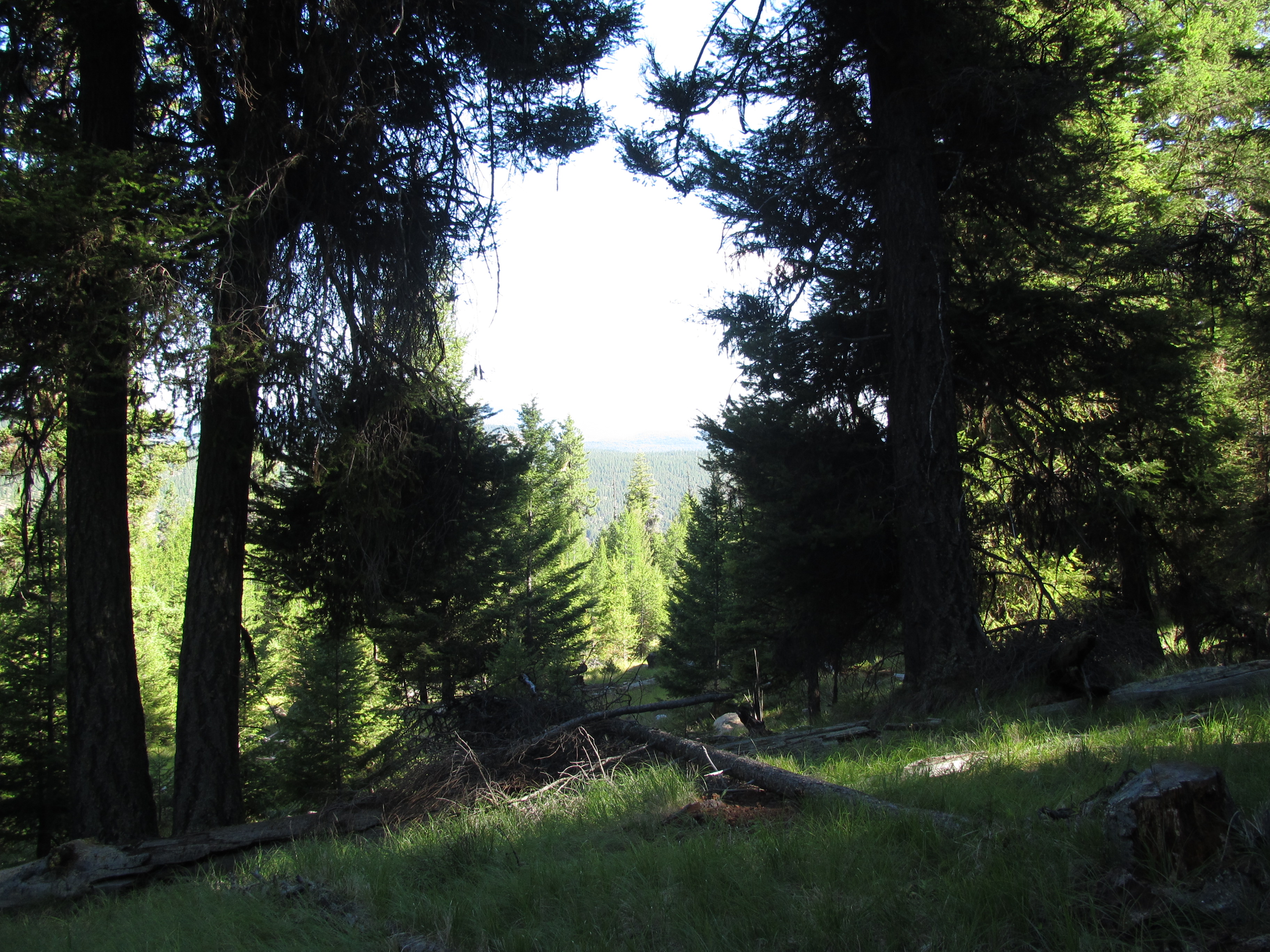
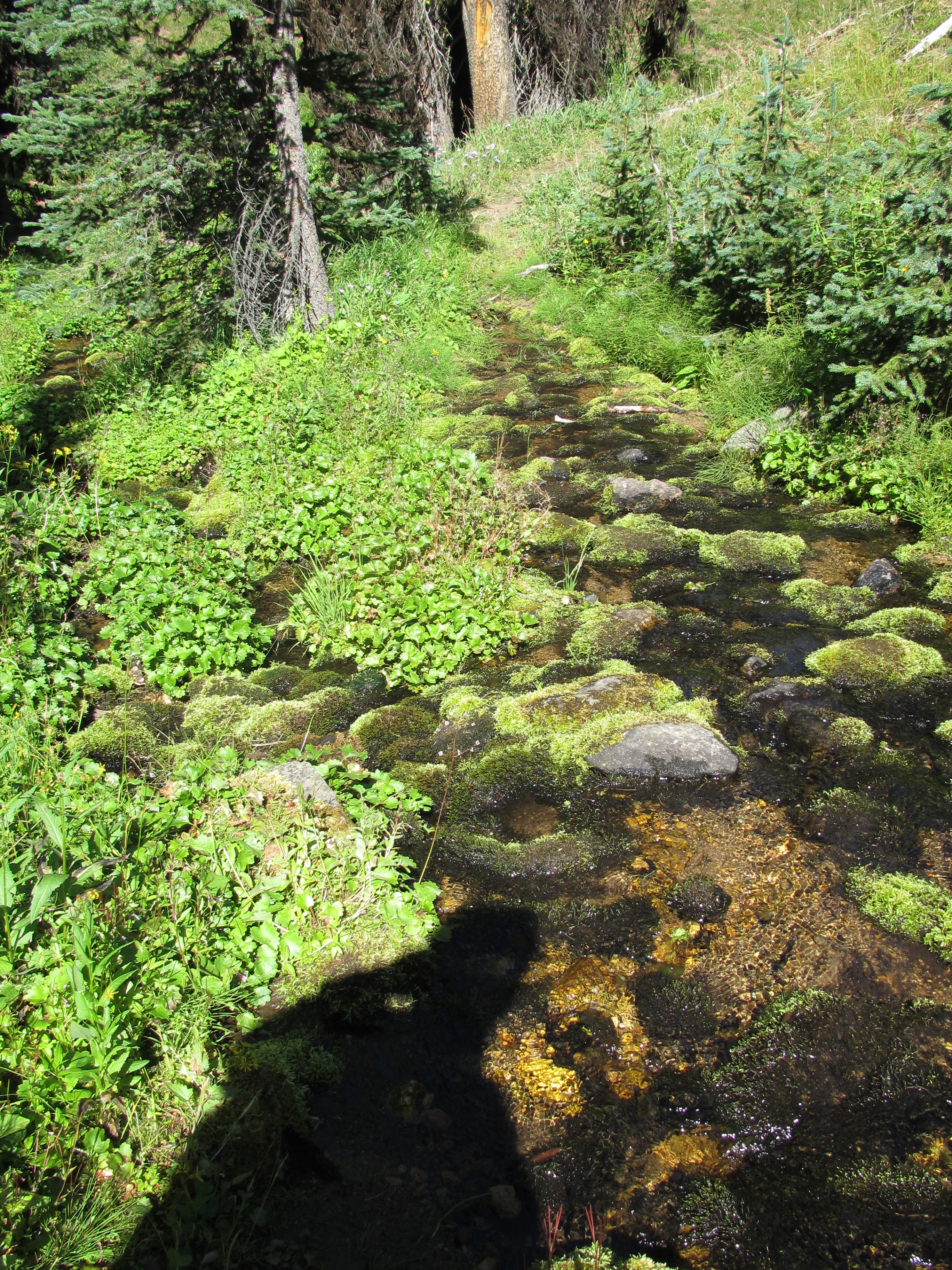
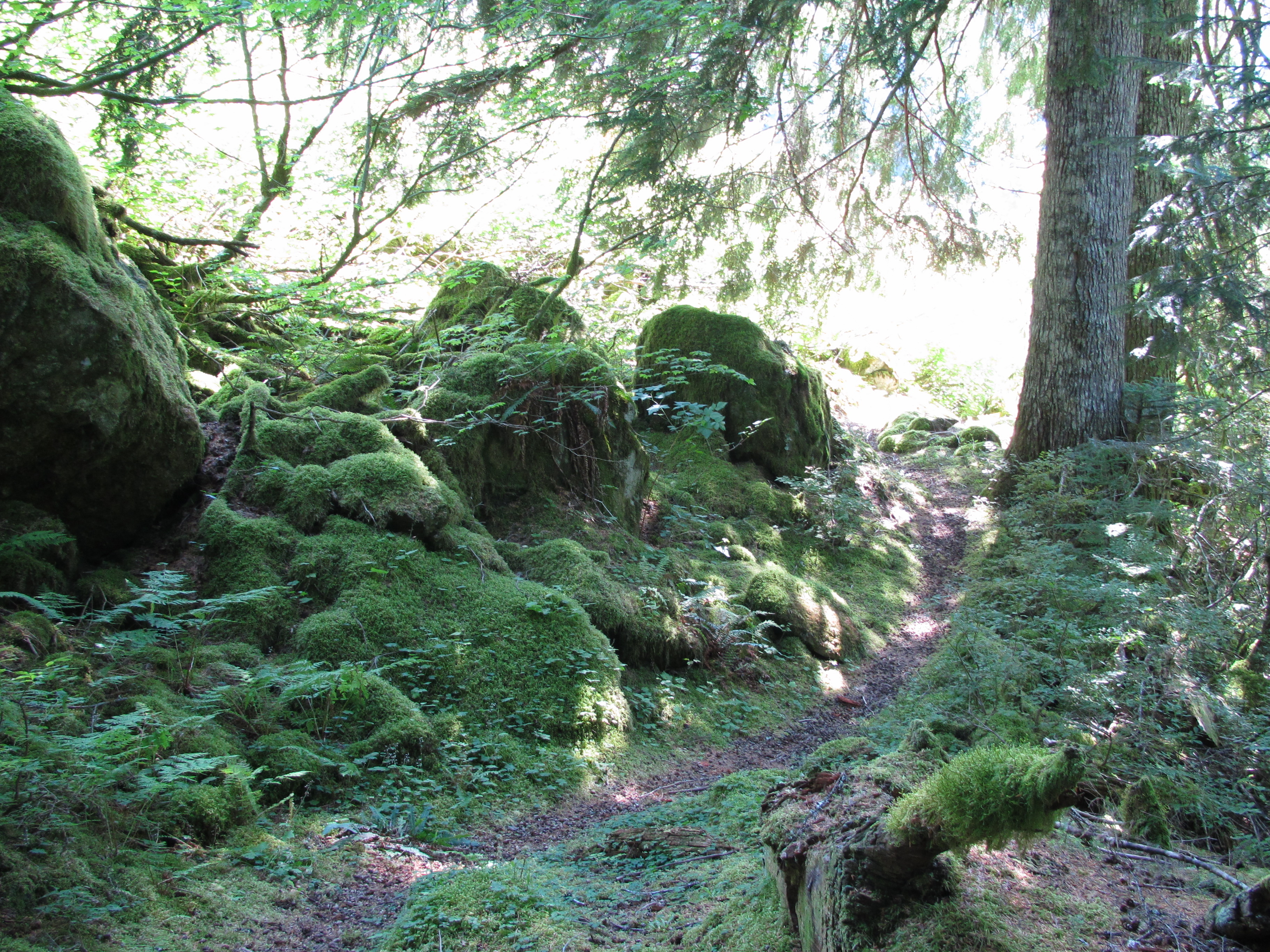
The weather got cold and blustery, but not a lot of rain. I had trouble staying warm while doing regular camp chores (getting water, cooking food, cleaning up, etc.) But we’re tough! As we walked, the moss got greener, and the tree’s were bigger, and the leafs on the forest floor were unusual sizes – what is this the rainforest?!


We found berries again! And they were delicious, just as we suspected. Our trail took us through a very smokey valley, and then up and over Frosty Pass which was clear of smoke. We descended toward a trail we know too well, the Pacific Crest Trail! Hello long lost old friend!! We got to share 13.3 miles of the PCT on our thru hike of the PNT. It was very exciting. The walking was easy and smooth on the PCT, unlike the varied terrain and unmaintained trails that make up the Pacific Northwest Trail. It really put into perspective how different these trails are in difficulty. The Pacific Northwest Trail is almost half the length of the Pacific Crest Trail, but it is much more difficult mile for mile, and I am happy to be hiking a trail that makes me so tough!
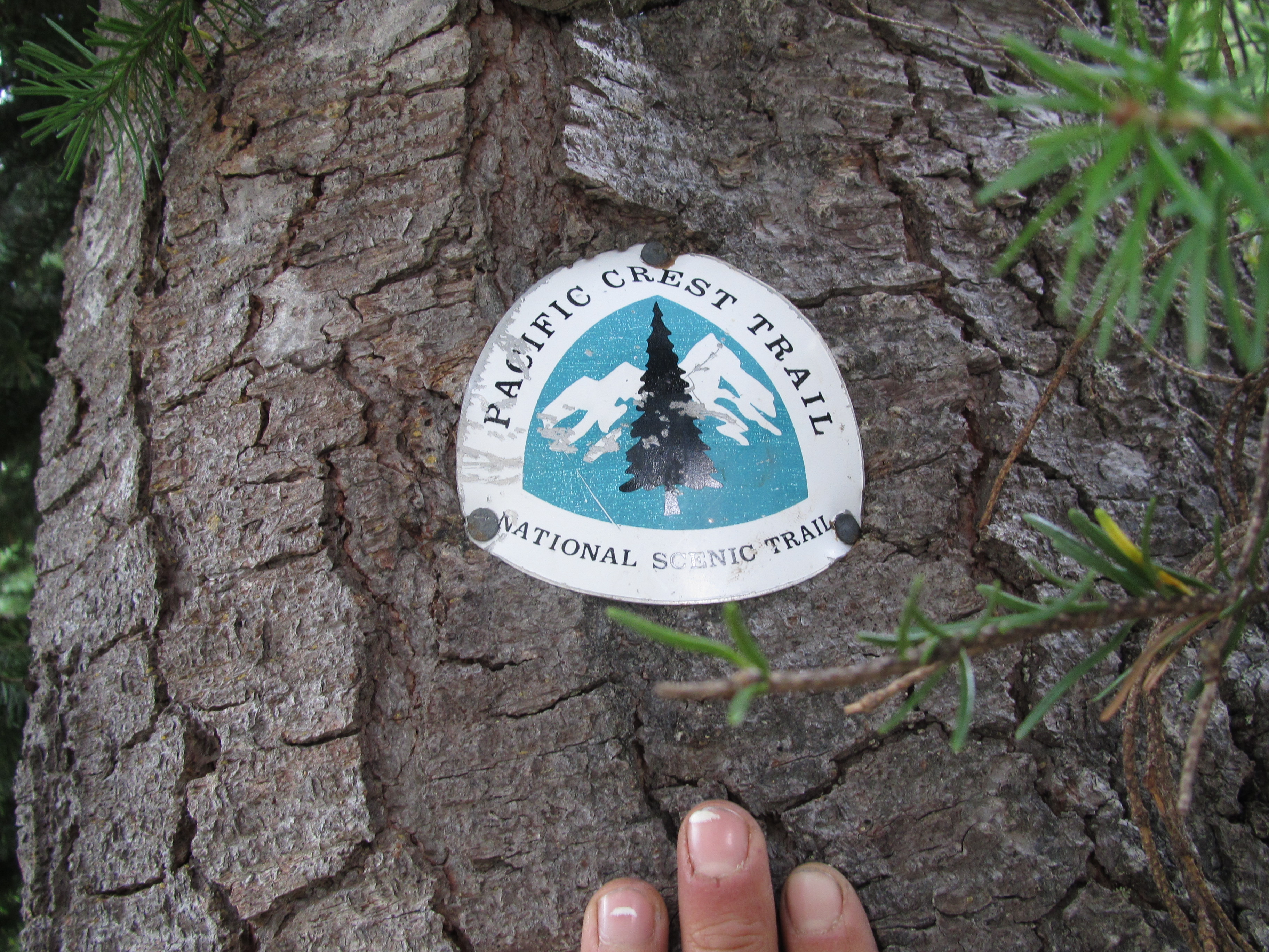
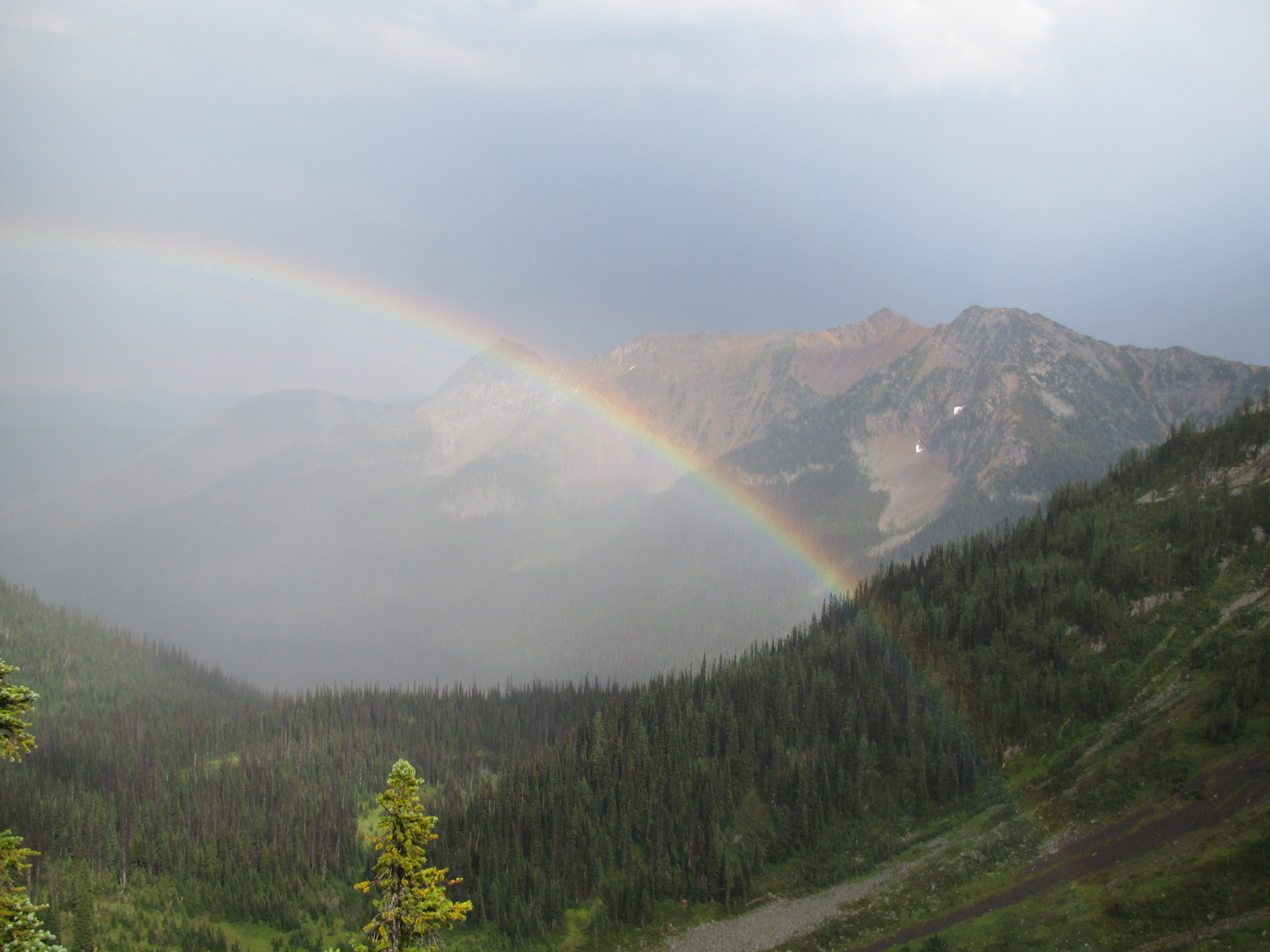
It rained a bit while we hiked along the most northern section of the Pacific Crest Trail and we saw a HUGE rainbow, we could actually see the pots of gold, but the trail called so we kept on walkin’. The scenery was amazing, classically PCT.

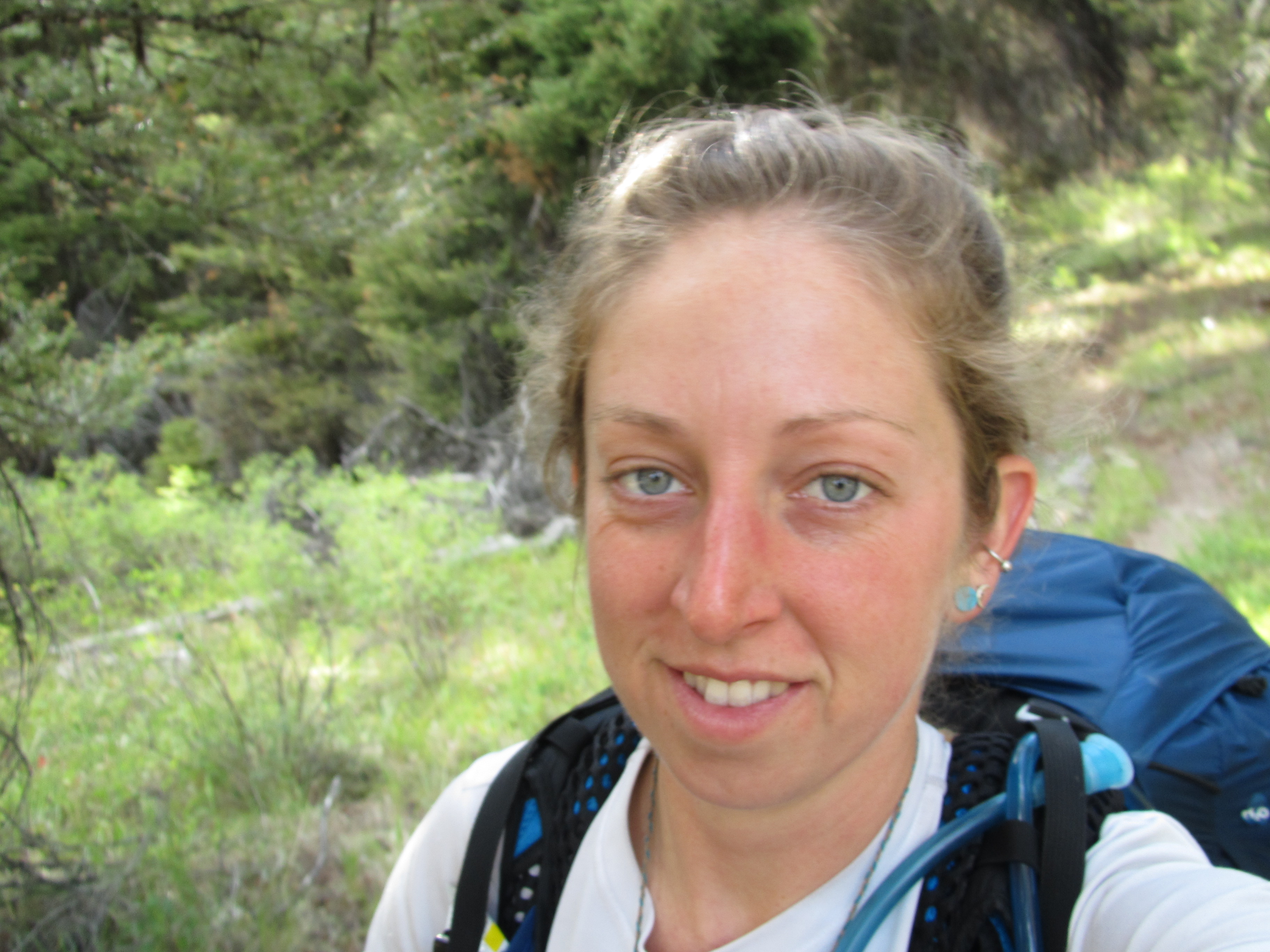
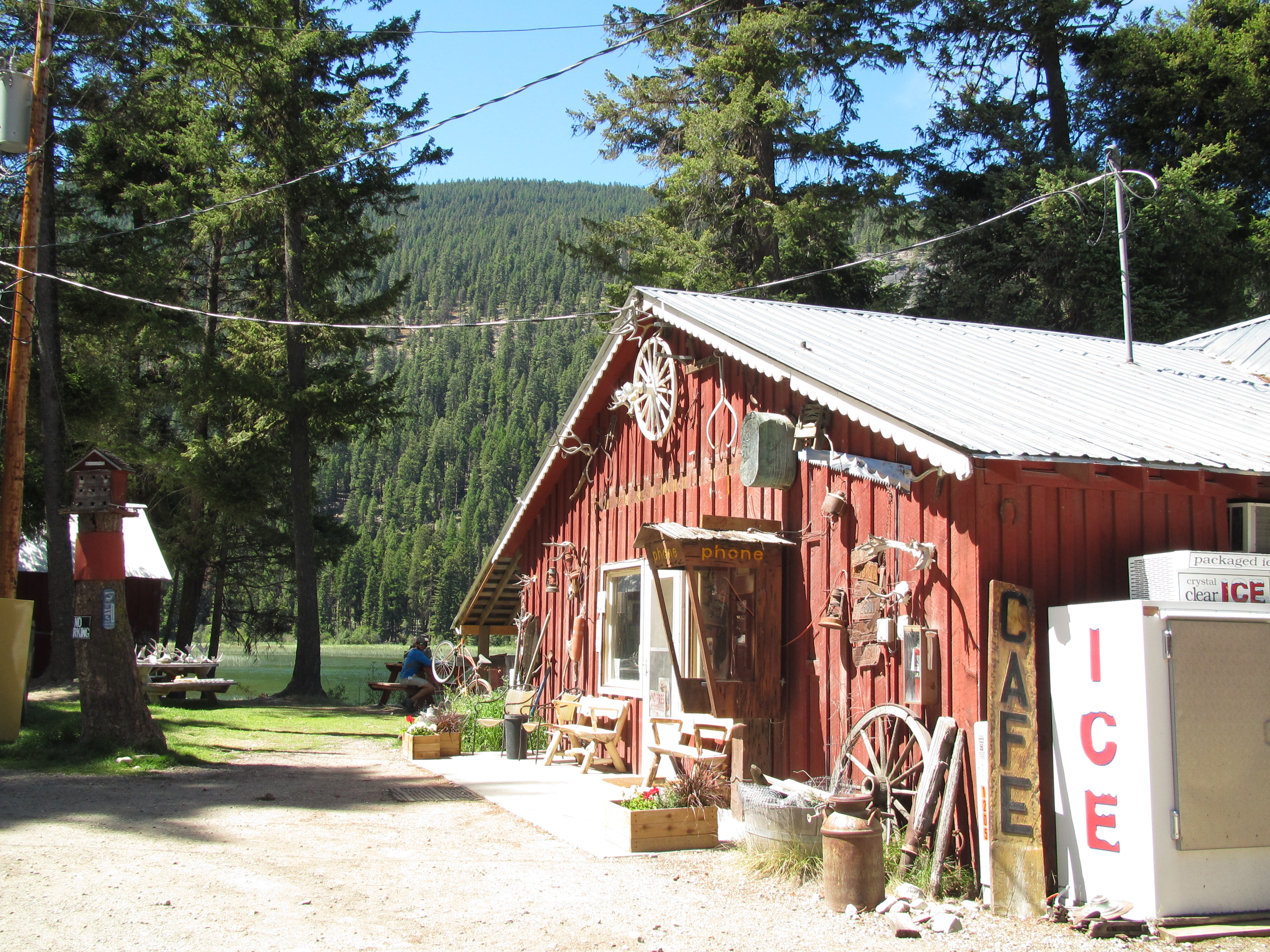
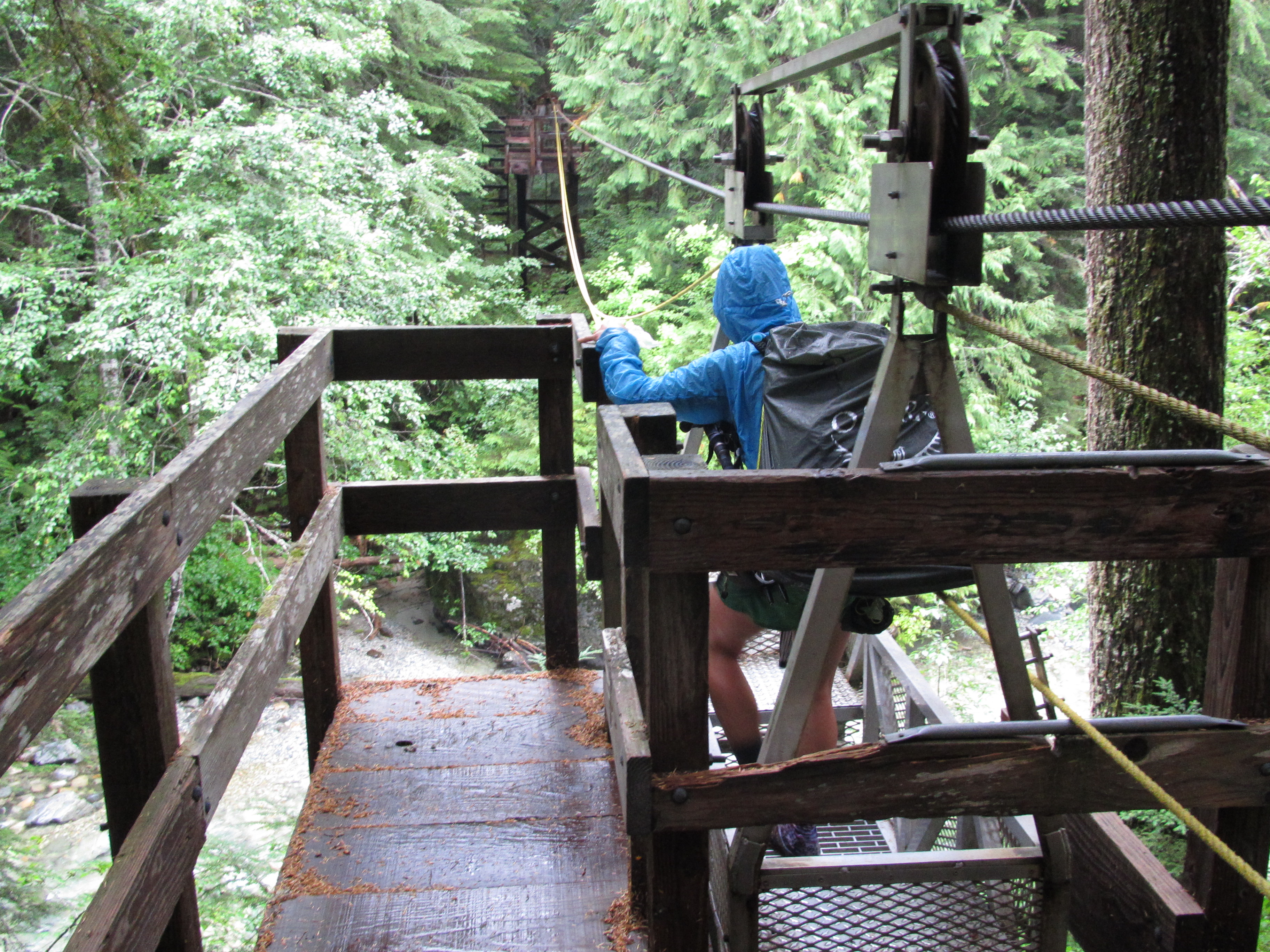
As we finished up the PCT portion, we said goodbye at Holman Pass and immediately started walking over deadfalls and a much narrower trail. The PCT is so loved, it is very obvious by how well it is maintained. What an amazing trail! Back to the PNT, we met a girl named Jodi who had just begun her section hike of the PNT after doing 300 miles or so on the PCT. She was doing 25-30 miles a day on average while working on her thesis on National Scenic Trails for her Masters in Resource Management. As we hiked over the Devils Dome I enjoyed conversation with her, as the only conversation I’ve had with anyone besides Ted in what seems like months, and then we parted when Ted and I stopped to have dinner at a creek. Flanders was at our campsite and as always, we were happy to see his smilin’ face yet again. He said goodbye with words in the dirt above our tent because he always gets up hours before we do. That day we hiked 20 easy miles to the Ross Lake Resort before 4:30pm and were devastatingly disappointed when we found the rumors were true. They have no food for us to eat, no showers, no laundry, and no place for us to sleep (besides back on the trail). I said, screw this, lets go to town, I need a day off after 150 straight miles without a break or a shower or a meal with real food. Yeah, I am going to town! We got a boat ride across the lake where we hitch hiked for no more than 5 minutes when a solo guy living out of his van picked us up and brought us all the way in to the town of Marblemount where we were treated like second class citizens by the owner of the Buffalo Run Inn who shoved us into a hostel room when we wanted to pay for a nice private room with private bath. We weren’t allowed to eat the continental breakfast, and they even kept the second bathroom locked so seven people had to share one bathroom (after he had said there would be two bathrooms). Not to mention he was nowhere to be found when we needed him. He did show up eventually just to yell at us for not being out by check out, after we waited hours just to shower. We were definitely not going to get another night there, so we started hitching to the laundromat down the road. A young girl with purple hair picked us up, gave us some blueberries, and dropped us off a mile down the road. We hung out in the laundry room at the RV park as our clothes washed and some young guys started to filter through. We didn’t know there were all friends, working together for a raft company, or that they had passed us hitch hiking on the highway, until they told us and apologized for not picking us up. They invited us to go on a whitewater raft trip with them the following day. We took them on their offer and hung out with Akram, Randy, and Matt for the night and the next day. They were a fun trio who worked together leading raft trips for tourists. We were lucky to run into them and we had an awesome day rafting with them. Unfortunately we didn’t get any photo’s – but it is a memory we’ll both have for a lifetime!


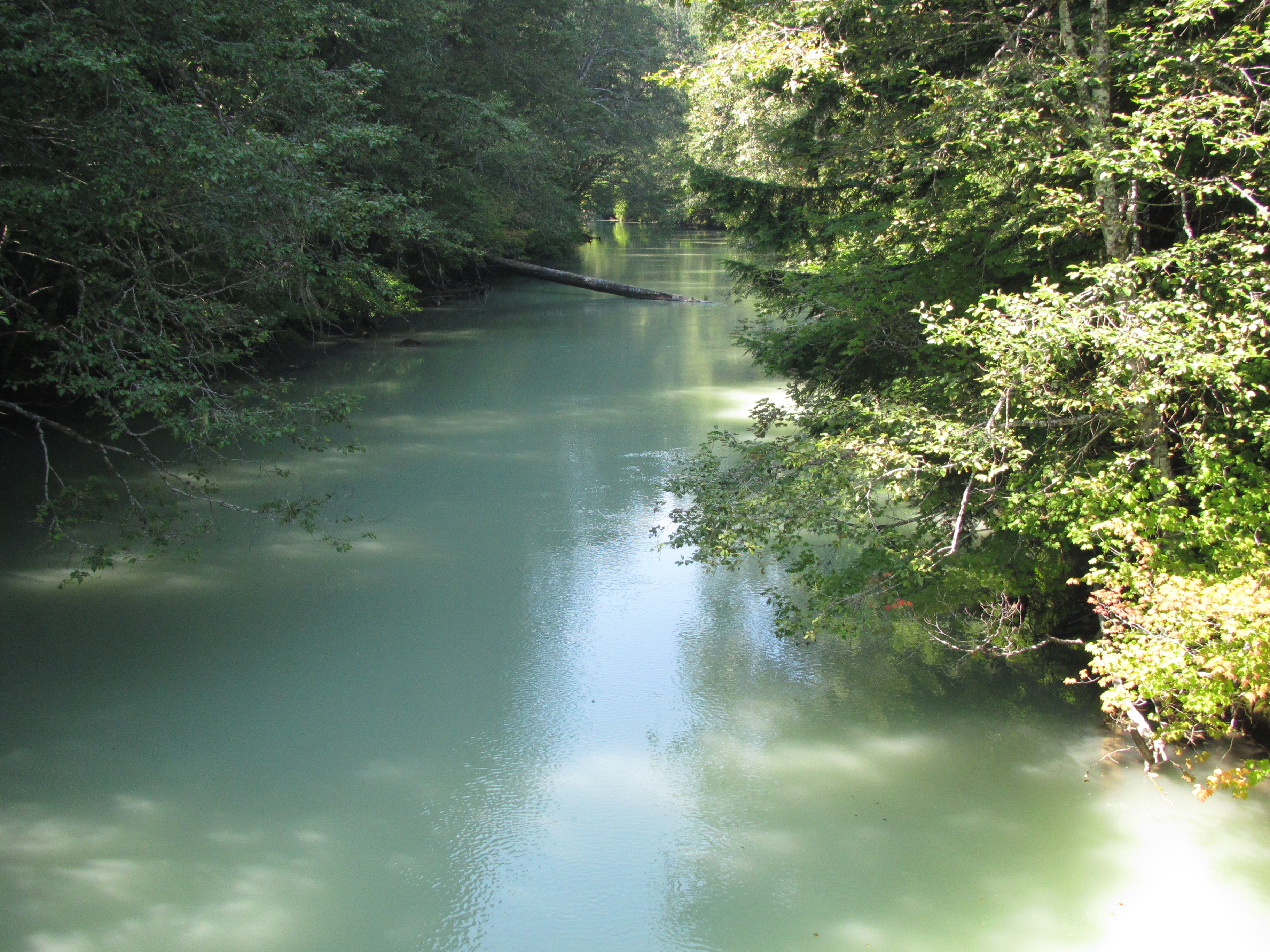
As we hiked on the west side of Ross Lake we hustled to get through the smoke from the fires all around the state and the new fires forming near the lake itself. The Beaver River was white and milky from glacial flour. I wanted to swim in it, then when I did, I was spooked because I couldn’t see what was beneath the water… river monsters!! As we walked into the North Cascades National Park, we got a few glimpses of glaciers before a big storm came in and blanketed everything with clouds and rain. We walked over Whatcom Pass in the pouring rain and camped at the Graybeal camp where we were rained on all night. Luckily the rain stopped by morning, but not soon enough for anything to dry (at all). It was one of those lovely days when we get to put on soaking wet clothes. Since it wasn’t raining though, our clothes kind of dried on our walk out of the park that day. We hiked up and over Hannegan Pass then got a ride into the town of Glacier to dry out. There were no rooms available, but a guy nearby took pity on us and offered us a shower and a place to camp at his place. Lucky again.


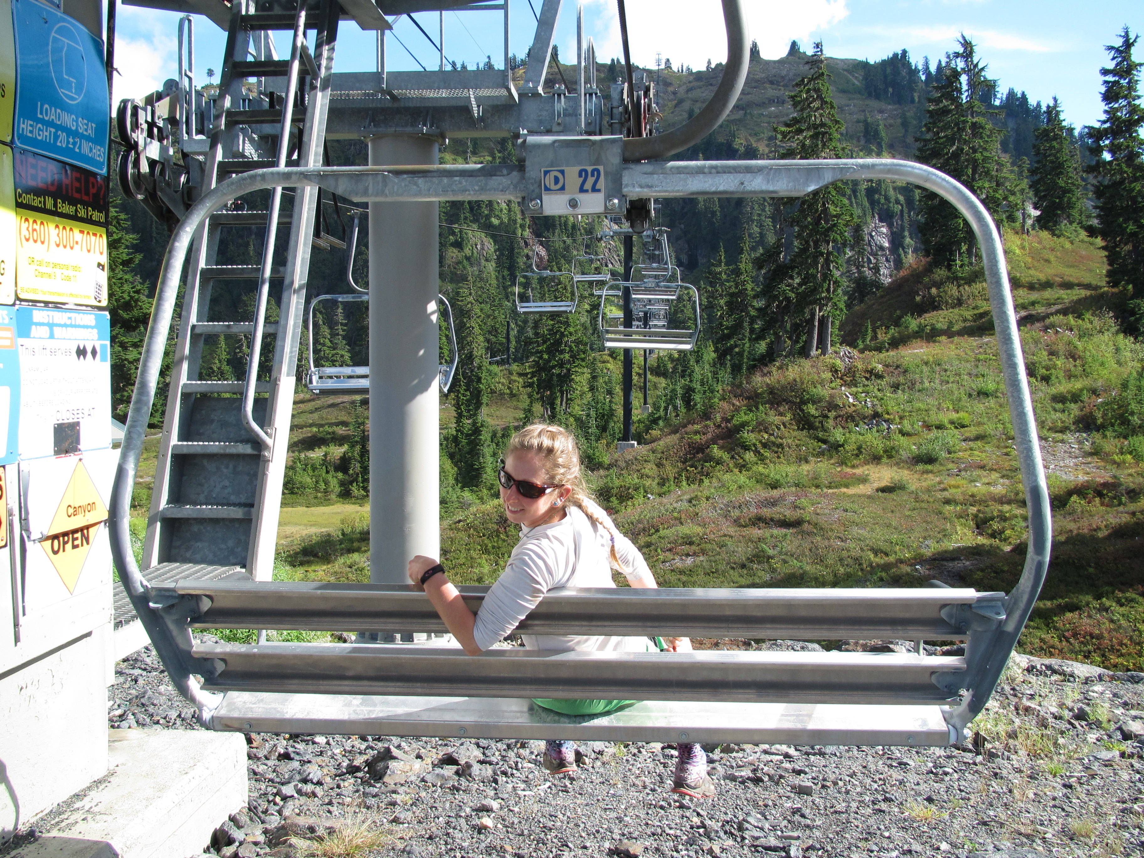
So we said goodbye to the national park and walked into the Mount Baker Ski Resort, the familiarity of the chair lifts was heart warming. Hi Mammoth! We miss you! Then we hiked on over to the Wild Goose Trail, bringing thoughts of wild geese running amok to my mind. We connected to the Lake Anne trail, walking through the enchanted forest that is western Washington, then to the Swift Creek Trail where we found a beautiful little flat spot to camp deep in the woods next to a creek. We learned quickly to be careful walking not only off trail, but on trail too – because there are HUGE spiders in theses forests that like to make their webs right where your face conveniently lands as you walk.

The Swift Creek trail ended and we began a road walk to connect to the next trail about 7 or 8 miles away, the Baker Lake Trail. This trail is often bypassed by hikers because there is a “quicker, more efficient route” that happens to only be 8.5 miles, as opposed to 25.5 around the lake. That shortcut is a highway walk. Yeah right, I am walking around the lake. The lake was amazing. We saw no one on the trail and camped alone on the shore. Our campsite had a privy and a bear locker! The simplest of luxuries allowed us to lounge around camp the next morning, really taking in the beauty and solitude this area offered us. When we finally hiked on, we stopped for a swim in the turquoise blue lake before getting to the road that would lead us into our next resupply town of Concrete Washington.


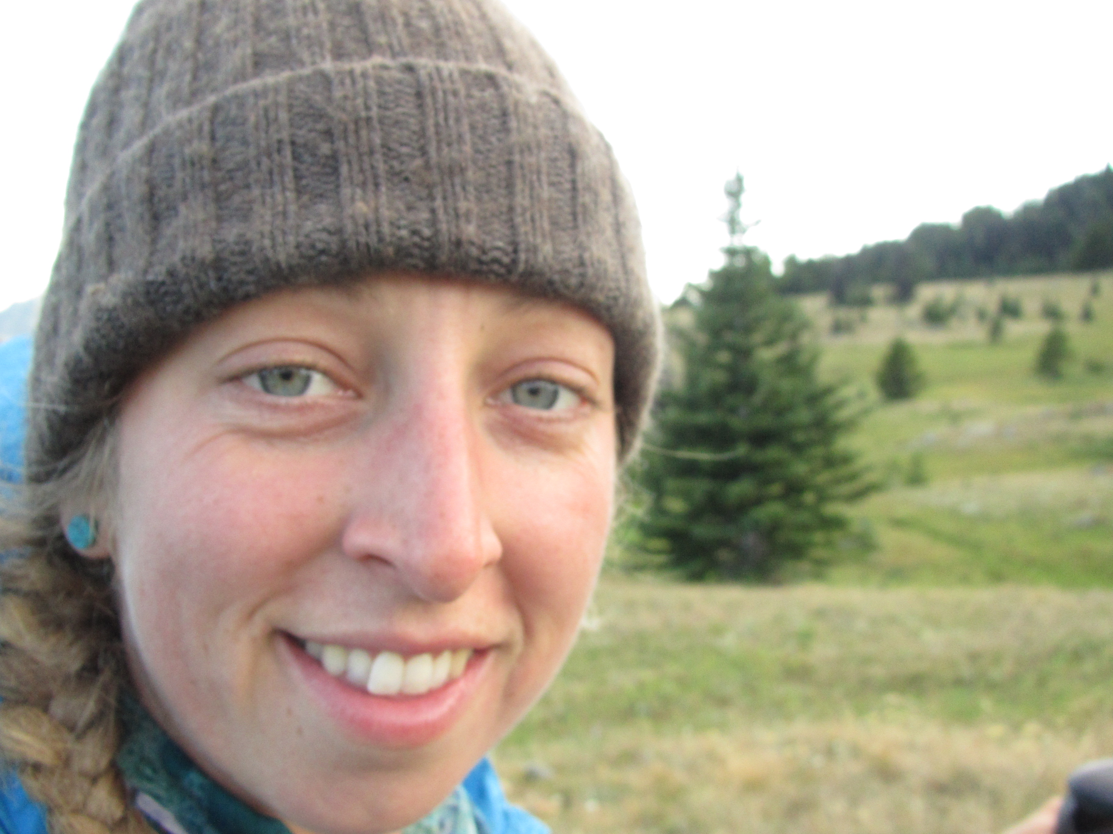
We are happy! We love hiking, only a few more weeks left, but we don’t want it to end. We are just loving the Pacific Northwest Trail. Hike on!!